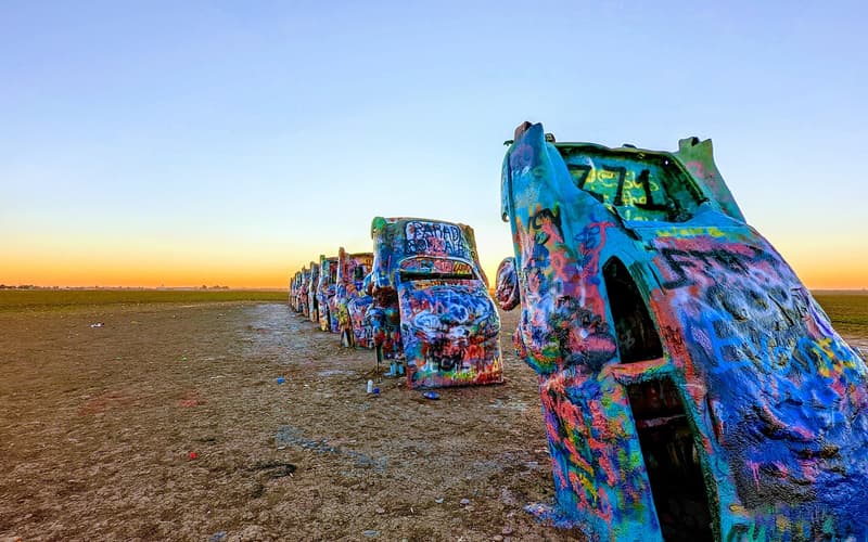
 Amarillo & Route 66
Amarillo
The Panhandle’s only big city: Cadillac Ranch, the Sixth Street stretch of Route 66, steaks and the easiest base for Palo Duro Canyon.

Red canyons hidden in the flat plains, free-roaming bison, painted Cadillacs and the middle of Route 66. Eight destination guides, honest logistics and very big skies.
The 26 northernmost counties of Texas look empty on the map. Then you reach Palo Duro, one of America’s largest canyons, or stand beside a herd of bison below red cliffs, or watch a thunderstorm build 50 miles away.
This is ranch country on the High Plains, about 3,000 to 4,000 feet above sea level, with Route 66 running through the middle and cowboy history at every turn. It is built for driving: distances are long, roads are empty, and two or three bases are enough. If you want a place that feels like the real American West with almost no crowds, this is it.

Most travel sites promise endless tours. The Panhandle does not have them. GetYourGuide lists very little here: the one local product we could confirm is a horseback ride in Palo Duro Canyon. Other cards on this site are real tours in gateway cities such as Albuquerque and Oklahoma City, and we always say which is which. For this region, a car and our free guides are what you really need.
Each destination is a small guide in itself: overview, tours, things to see, getting there, a practical travel guide and when to go.
Amarillo & Route 66 The Panhandle’s only big city: Cadillac Ranch, the Sixth Street stretch of Route 66, steaks and the easiest base for Palo Duro Canyon.
 The canyons
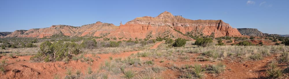
The “Grand Canyon of Texas”: red rock walls, the Lighthouse hoodoo, a summer outdoor musical and a superb museum in nearby Canyon.
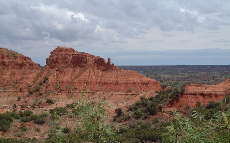 The canyons
Wild red badlands where the Texas State Bison Herd roams free, with a rail-trail tunnel, big hikes and very few people.
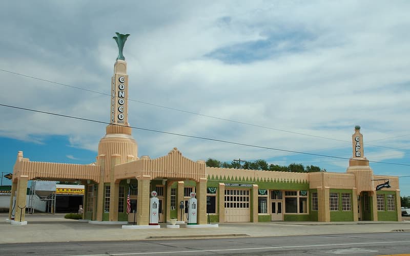 Amarillo & Route 66
Around 178 miles of the Mother Road: the midpoint café, a leaning water tower, a barbed-wire museum and a glowing Art Deco station.
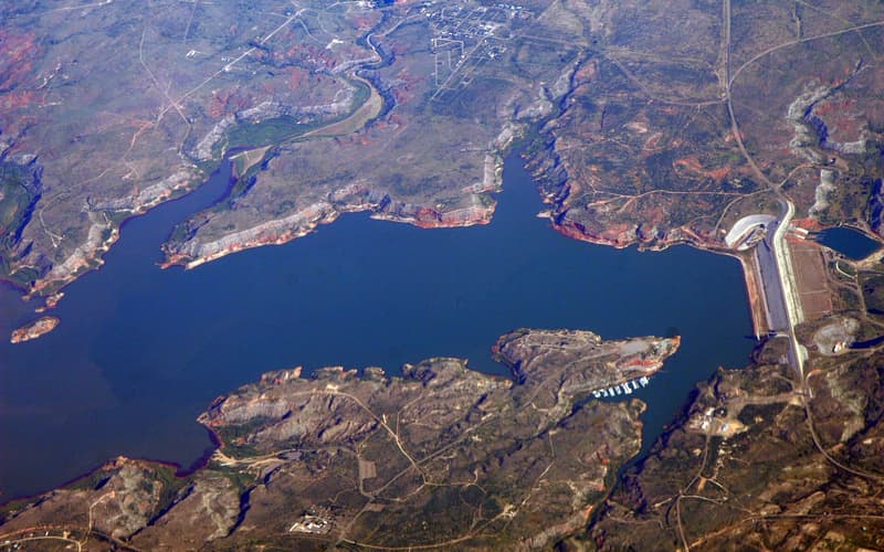 The northern Panhandle
A reservoir in red breaks on the Canadian River, and the rainbow-flint quarries people have mined for some 13,000 years.
 The northern Panhandle
A brick-street oil town where a young Woody Guthrie learned his music, with big-sky drives to Miami and Canadian.
 The northern Panhandle
High, wide cowboy country: the three-million-acre XIT Ranch, a famous summer reunion and the grasslands of the Dust Bowl.
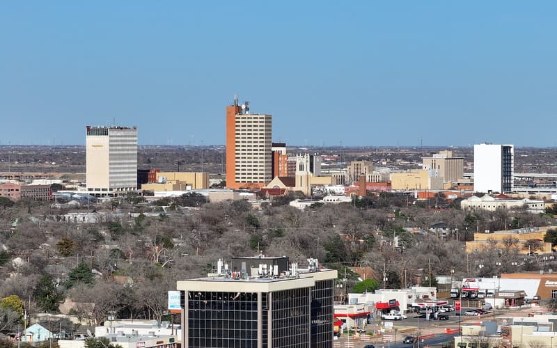 The southern edge
Just south of the Panhandle proper: Buddy Holly’s home town, a big university, ranch heritage and Texas wine.
If you have only a few days, build them around these.

Walk through red badlands to Palo Duro Canyon’s most famous rock tower, at sunrise before the heat arrives.
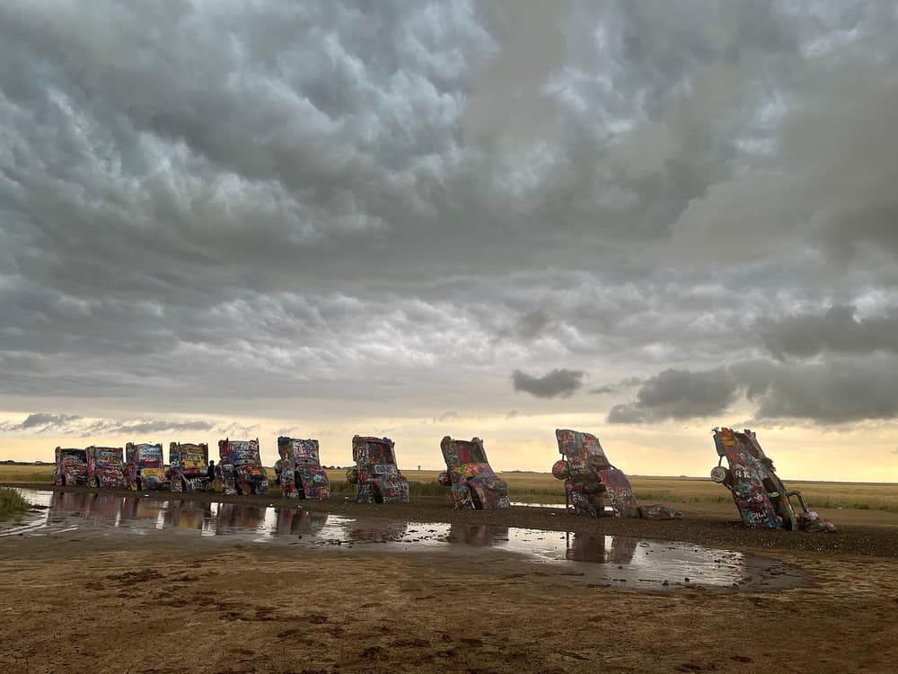
Bring a can of spray paint and add your mark to America’s most cheerfully vandalised work of art.
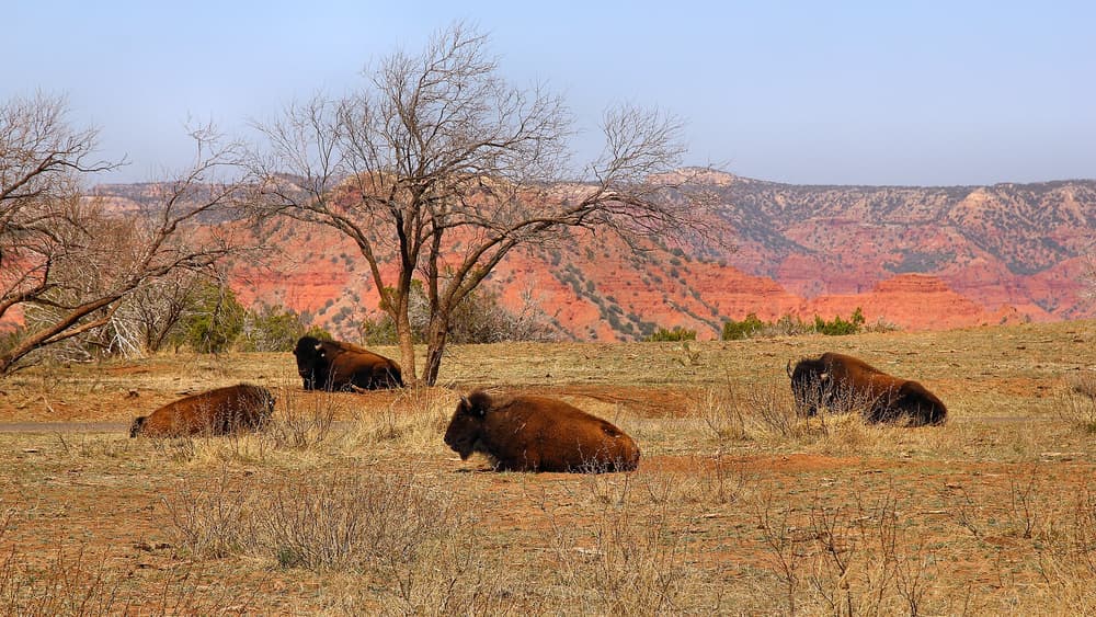
At Caprock Canyons, descendants of the last southern plains bison wander freely past the road and the campgrounds.
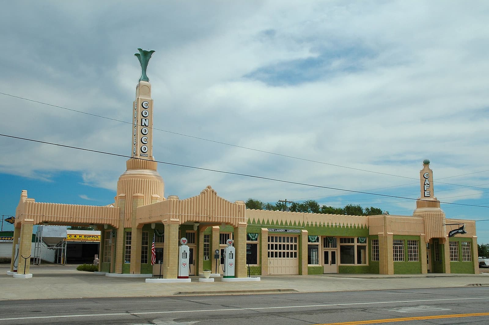
Pie at the midpoint in Adrian, a leaning tower in Groom and the glowing Art Deco U-Drop Inn in Shamrock.

Join a ranger at Alibates, where people have dug rainbow-striped stone for thousands of years.

Visit Buddy Holly’s home town, then Woody Guthrie’s Pampa, for two very different chapters of American music.
One tour in the canyon, and a handful in the gateway cities. Each card says where it really is.
 In the canyon
A guided ride through the canyon, sold under Amarillo. We could not read the full listing, so check the duration, the meeting point, whether park entry is included and any rider limits.
 Gateway: Oklahoma City from $55
A streetcar-and-walking tour with a Route 66 theme, for those driving in from the east. About a mile on foot.
 Gateway: Albuquerque from $35
A walking tour of about 75 minutes in Old Town, for those continuing west on Route 66.
 Gateway: Santa Fe from $40
A walking tour of about 2 hours through Santa Fe’s historic centre, for those continuing into New Mexico.
 Gateway: Santa Fe
A dawn flight near Santa Fe. Check the listing for pick-up and weather conditions.
 Gateway: Roswell
A guided tour of Roswell’s famous UFO story, for those driving on towards New Mexico.
A quick comparison. Follow any name for the full guide.
| Destination | Best for | Ideal stay | From Amarillo |
|---|---|---|---|
| Amarillo | City base, Route 66 icons, steaks | 2–3 nights | Start here |
| Palo Duro Canyon & Canyon | Hiking, photography, a great museum | 1–2 days | About 30 min |
| Caprock Canyons | Bison, big hikes, solitude | 1–2 nights | About 1 h 45 min |
| Route 66: Adrian, Vega & Shamrock | Road-trip stops, photography | 1–2 days | Runs through town |
| Lake Meredith & Alibates | Ancient quarries, boating, quiet | Day trip | About 45 min |
| Pampa & the Eastern Panhandle | Woody Guthrie, small-town Texas | Half a day | About 1 h |
| Dalhart & XIT Country | Ranch history, wide-open grassland | Half a day | About 1 h 30 min |
| Lubbock | Music, museums, wine | 2 nights | About 1 h 50 min |
The High Plains are sunny, dry and windy, with sharp changes from one day to the next.
Pleasant hiking and green plains, but also storm season, with hail and tornado risk by May.
Hot, particularly on canyon floors, but dry with cool nights. Peak Route 66 season and the TEXAS show.
The best season overall: settled, clear weather and comfortable hiking.
Sunny but cold and windy. Snow and ice can briefly close highways.
Realistic routes with sensible driving days, each linking to the guides you need.
Live GetYourGuide results for the Amarillo area. The list may be very short.
From a restored tower in Amarillo to simple highway hotels: three examples here, and a full list by destination.
A restored historic downtown tower, now a stylish hotel within walking distance of restaurants.
A familiar mid-range choice by the highway in Canyon, one of the closest options to the park.
A comfortable chain hotel with an indoor pool, hot tub and fitness centre.
The Panhandle is road-trip country with few bookable tours. Check what GetYourGuide currently offers around Amarillo, then fill in the rest with our free guides.
Four days covers Amarillo, Palo Duro and part of Route 66. A week adds Caprock Canyons and Lubbock. See our sample itineraries.
Yes, in practice. Public transport barely serves the sights, and there are few tours. See getting there and around.
Because few exist. We list only real products and say where they are, rather than padding pages with invented ones.
Amarillo for most trips, or Canyon if you are focused on Palo Duro. Lubbock works well for the southern end.
April to May and September to October. Summer is fine if you hike at dawn. See when to go.
Yes. The main risks are natural: heat on the trails, severe storms in spring and long empty roads. See the travel guide.