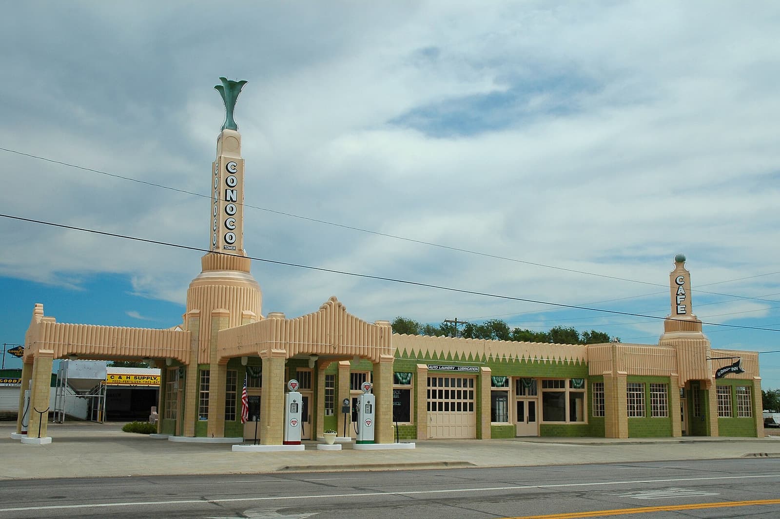
The Panhandle is built for cars. Plan to pick one up at an airport, or arrive in your own.
By air
The two main airports are Amarillo (AMA) and Lubbock (LBB), both linked by regular flights to Texas hubs such as Dallas. International visitors generally connect through Dallas–Fort Worth or Houston. It can also be worth comparing a long drive from a larger airport, such as Dallas–Fort Worth, Oklahoma City or Albuquerque.
By road
I-40 crosses the Panhandle from east to west, following the old Route 66. I-27 links Amarillo and Lubbock, and US highways such as 87, 287 and 60 fill in the rest.
| From | Distance | Time | Route |
|---|---|---|---|
| Dallas–Fort Worth | About 360 mi | 5.5–6 h | US-287 |
| Oklahoma City | About 260 mi | 3.75 h | I-40 |
| Albuquerque | About 290 mi | 4.25 h | I-40 |
| Santa Fe | About 280 mi | 4.5 h | I-40 / US-84 |
| Denver | About 430 mi | 6.5–7 h | I-25 / US-87 |
| Lubbock | About 120 mi | 1 h 50 min | I-27 |
By bus and train
Long-distance buses serve some towns along I-40, but they are not a useful way to see the region. No passenger trains stop in the Panhandle. Amtrak’s nearest stations are in other states.
Car hire and driving
Hire desks are at Amarillo and Lubbock airports. International drivers should check licence rules. Remember that Texas drives on the right, speed limits can be high on rural roads, and fuel stations can be far apart.
- Fill up at half a tank on minor roads.
- Download offline maps, as signal drops in canyons and on the plains.
- Watch for deer and pronghorn at dawn and dusk.
- Check DriveTexas for closures in winter.
Where to stay and what next
See where to stay and our itineraries.