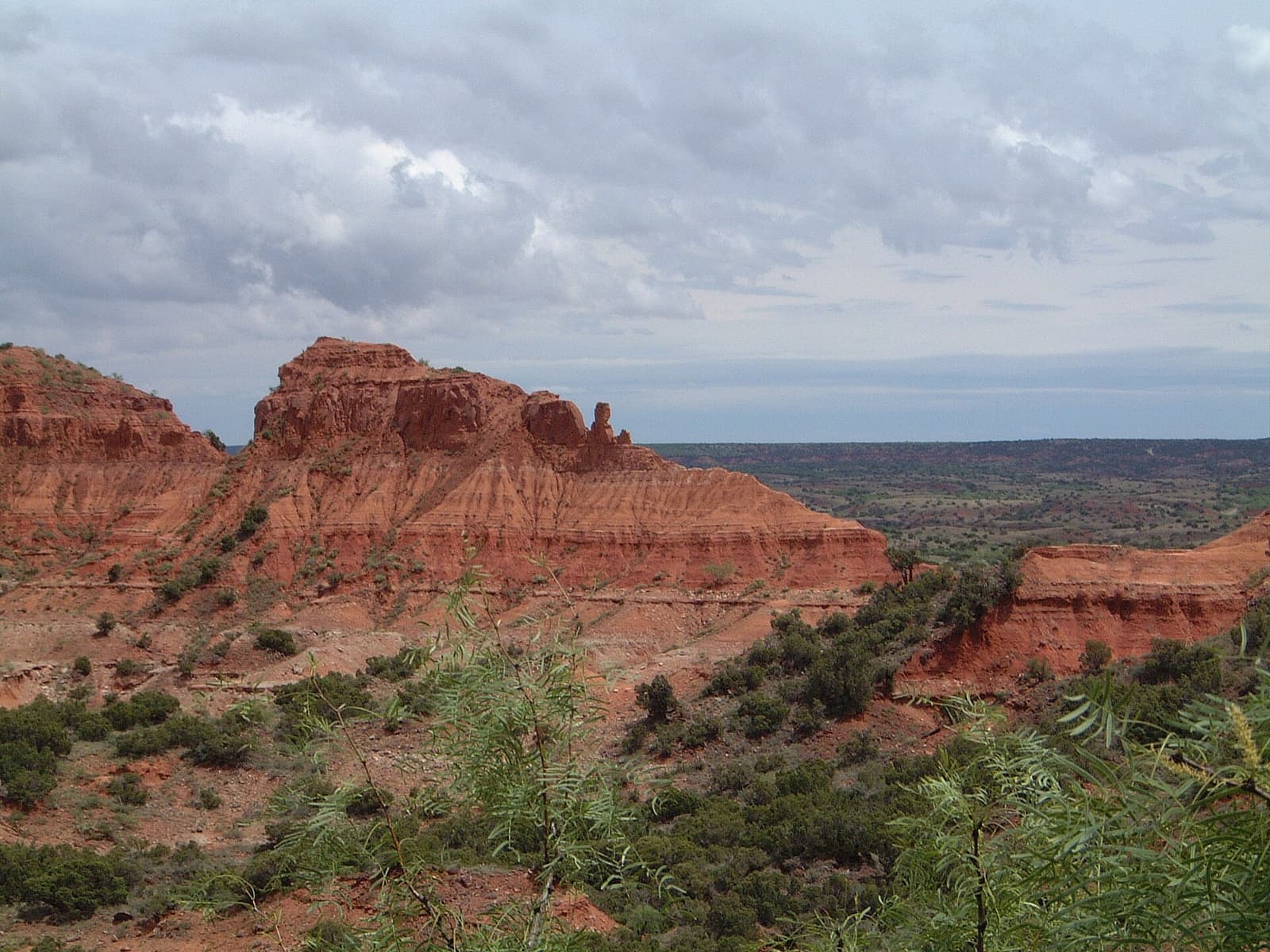
The park lies off Highway 86 at Quitaque. There is no public transport. Mobile coverage is patchy, so download maps before you leave.
Routes at a glance
| From | By | Time | Good to know |
|---|---|---|---|
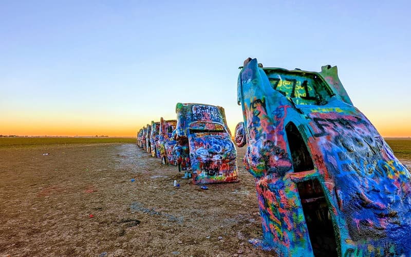
| Amarillo | Car | About 1 h 45 min | About 100 miles via I-27, Tulia and TX-86. |
| Palo Duro Canyon | Car | About 1 h 45 min | Rural roads via Silverton. |
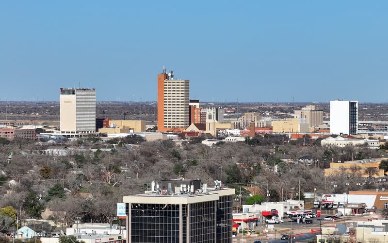
| Lubbock | Car | About 1 h 45 min | Around 105 miles north-east through Floydada. |
| Dallas–Fort Worth | Car | About 5–5.5 h | US-287 to Childress or Memphis, then south-west on TX-86. |
Times are typical and fares change — check current timetables and prices before you travel.
Getting around the park
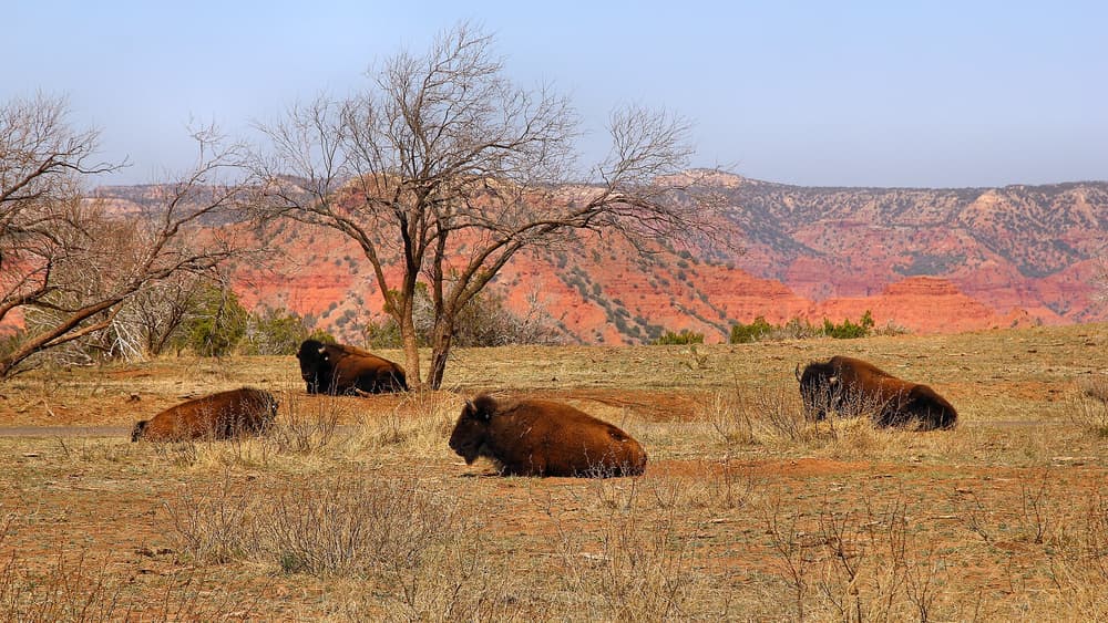
The road is paved to the main areas, and many trails begin from parking lots. Drive slowly: bison have the right of way, and they do not move for horns.