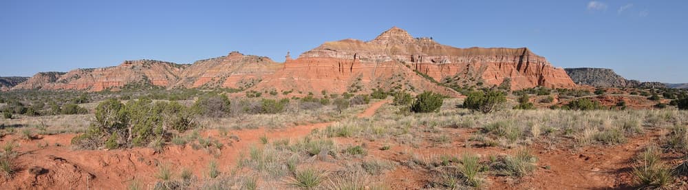
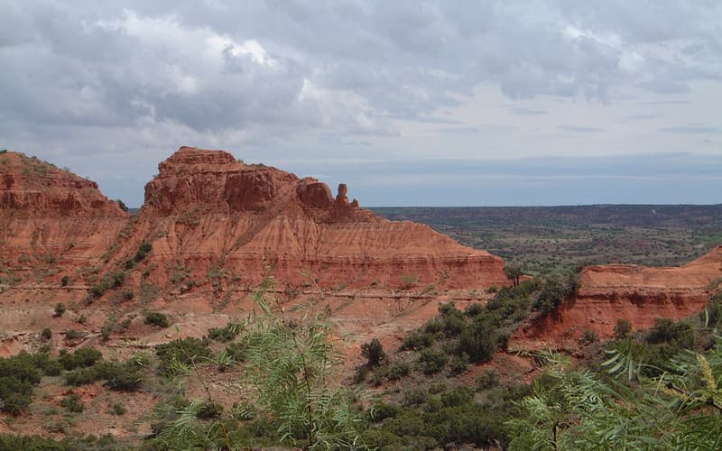
From I-27, take the Canyon exits, then follow State Highway 217 east to the park gate. The paved road down to the floor is steep, with sharp bends, and low-water crossings can close after heavy rain.
Routes at a glance
| From | By | Time | Good to know |
|---|---|---|---|
| Amarillo | Car | About 30–35 min | Around 25 miles via I-27 and TX-217. |
| Canyon | Car | About 15–20 min | About 12 miles east along TX-217. |
| Lubbock | Car | About 1 h 45 min | Around 110 miles north on I-27. |
| Caprock Canyons | Car | About 1 h 45 min | Rural roads via Silverton and Tulia; fuel up first. |
Times are typical and fares change — check current timetables and prices before you travel.
Getting around the park
A car takes you from the gate to the trailheads. Large RVs should read the park’s advice on the descent. Mountain bikes are welcome on many trails. Do not count on a taxi or rideshare for the return.
Flash floods
The crossings on the canyon floor can flood fast during thunderstorms. Never drive through moving water, and follow ranger closures.